Sunday, August 26, 2018

A July 2018 Flight into the Upper Yukon Valley

After months of adverse weather, the rain clouds cleared on a perfect day and I took complete advantage and headed up to my favorite landing spots on the upper Yukon.

The sky was alive with beautiful clouds, the water was low and the gravel perfect for landing.

The first pictures are en route to the Yukon, with the craggy granite tors of the White Mountains. Next come the Twin Lakes where a friend had to abandon part of his camp as a large Grizzly Bear made its way towards him on the narrow isthmus, now covered with water. Then, setting up my landing on this bar parallel to the river.

The next sequence are the environs of the Yukon Bar just below the Village of Beaver, where I took pains to photograph my airplane with a reflection, and also some interesting drift wood.

Finally, the Hodzana River - my favorite! I explored a number of bars, then landed. Then back home.


Sunday, October 8, 2017

Alaskan Fall Colors: A flight up the Yukon

September 9th was a perfect day for a fall foliage flight in Interior Alaska. Barbara and I departed Peterson Field early in the morning to see the fall colors and one of the best places to see them is the Yukon River Narrows between Stevens Village and Tanana. This day we flew NW from Fairbanks towards the village of Rampart, meeting the Yukon at Hess Creek. This day all the low lands were swathed in dense ground fog, creating a dreamy ocean like white blanket engulfing the river and it's tributaries. We followed the Yukon upstream as the fog dissipated, past fish camps, clear water creeks and islands - a vast patchwork of orange, yellow and dark green: the colors of birch, willow, quaking aspen and spruce.

Along the way we flew past gonadonimbus clouds, virga and rain over the Minto Flats, and the intricate patterns and mosaic patches of the quaking aspens, all changing color together.

(see an outstanding discussion of the clone aspect of Aspens by ADN columnist Dermot Cole here: https://www.adn.com/opinions/2017/09/12/with-a-splash-of-yellow-aspen-clones-prepare-for-the-fall/)

As the pictures show, the color changes extend in all directions and as far as the eye can see. By noon we turned back towards Fairbanks, arriving at our home field just ahead of changing weather and a black wall of threatening storm clouds from the North.


Sunday, August 27, 2017

Six hours on the tach! A long trip to the Porcupine River

A beautiful corner of Alaska is the Canada Border region along the Porcupine River. This is the site of an old Hudson Bay Co trading post that was closed and moved to Old Crow in The Yukon after it was discovered that it was located inside the boundary of the newly purchased Alaska Territory.

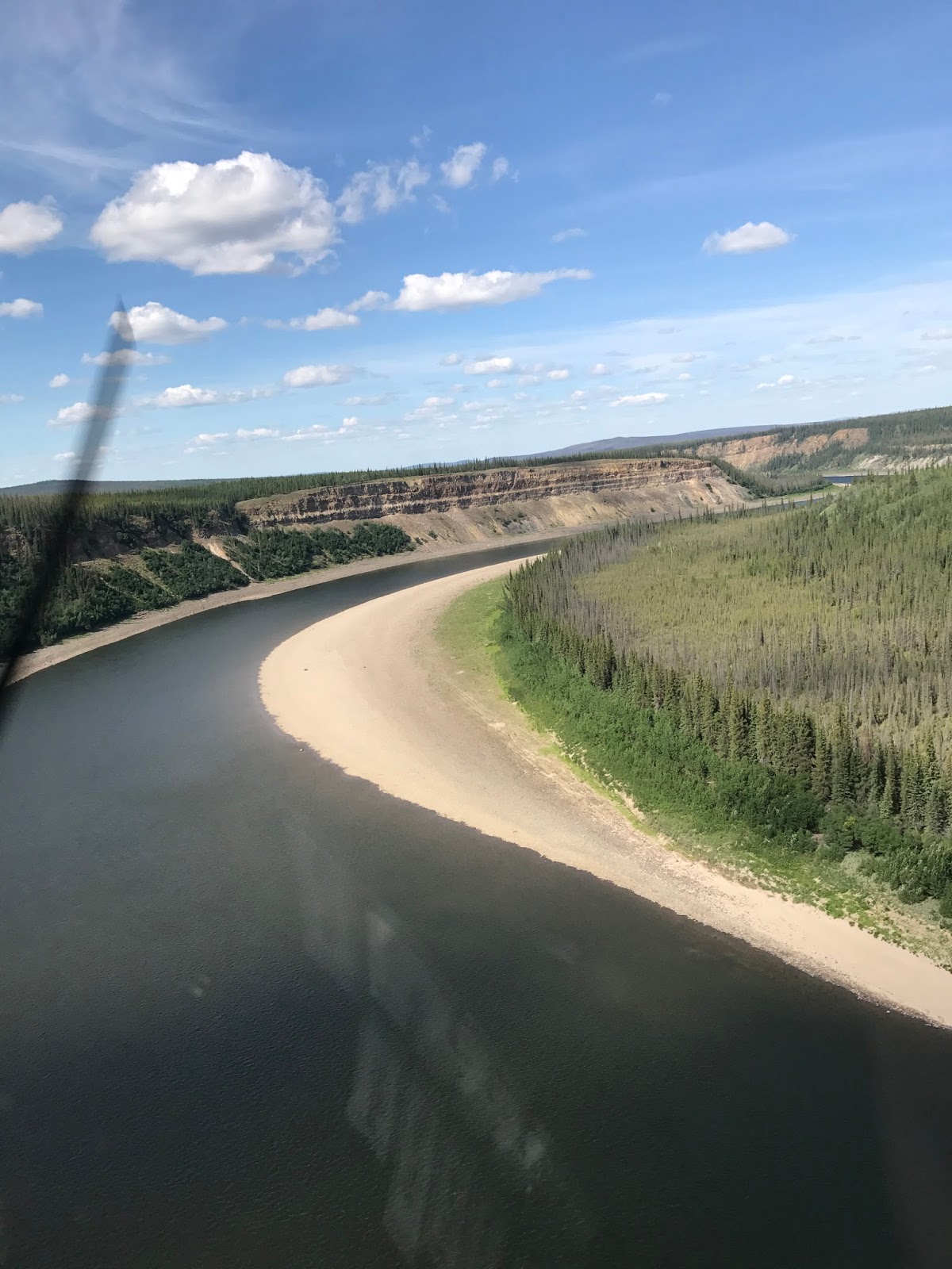
In this area, within 10 miles or so of the Canadian Border, the Porcupine enters a fairly deep gorge and the tributaries such as the Salmon Trout cut through this gorge in a series of waterfalls which is unique in Alaskan topography in my experience.

My mistake in making this trip was not familiarizing myself with the current forest fire locations and encampments of the BLM firefighting crews.

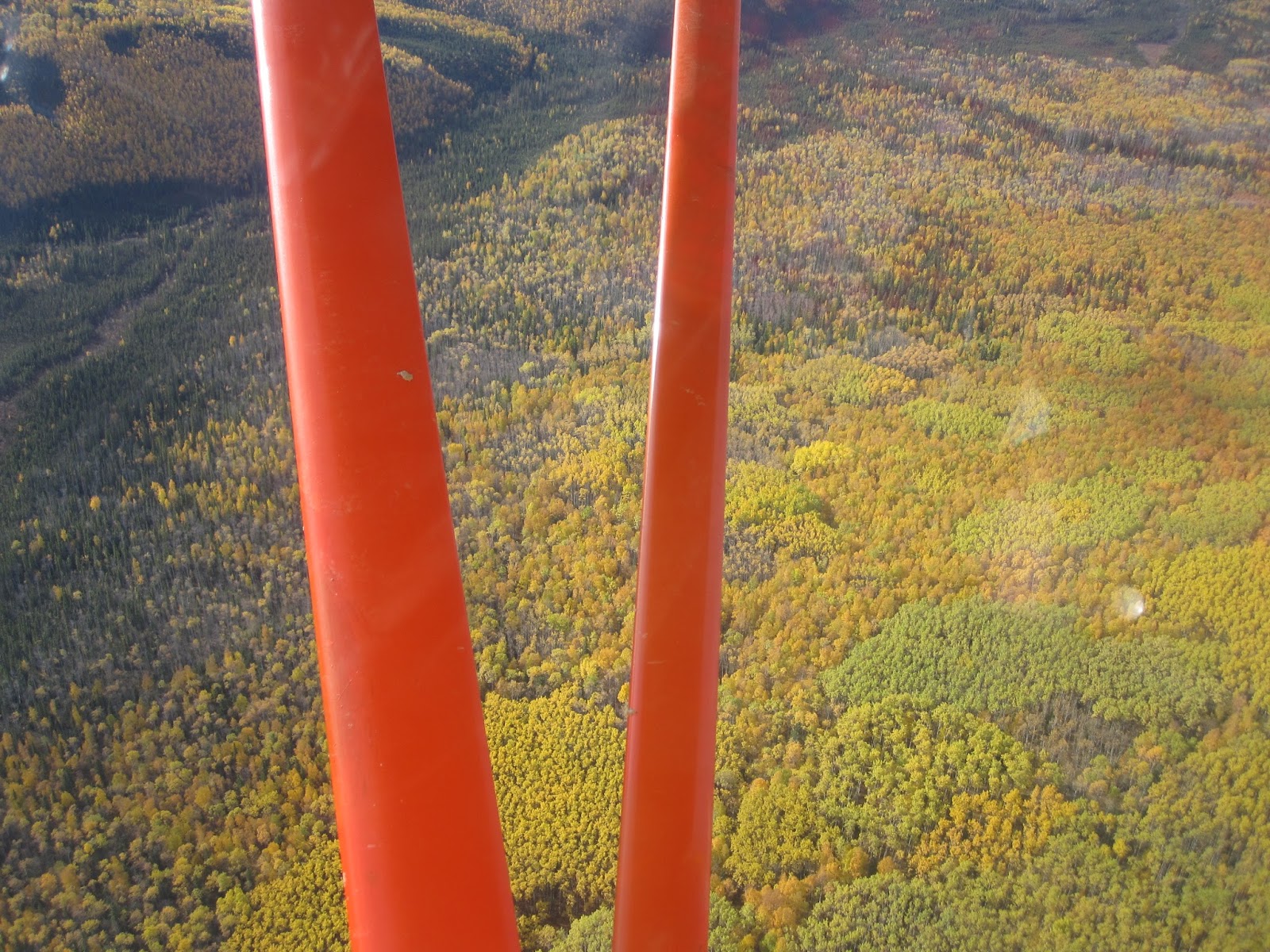
The wind was sustained 30+ mph out of the SW and these windy conditions with accompanying turbulence were present right down to the ground. The huge gravel bars for which the Porcupine is famous were even more larger and more prominent than usual because of the extreme dry conditions of the Upper Yukon Valley and the Eastern Brooks Range.

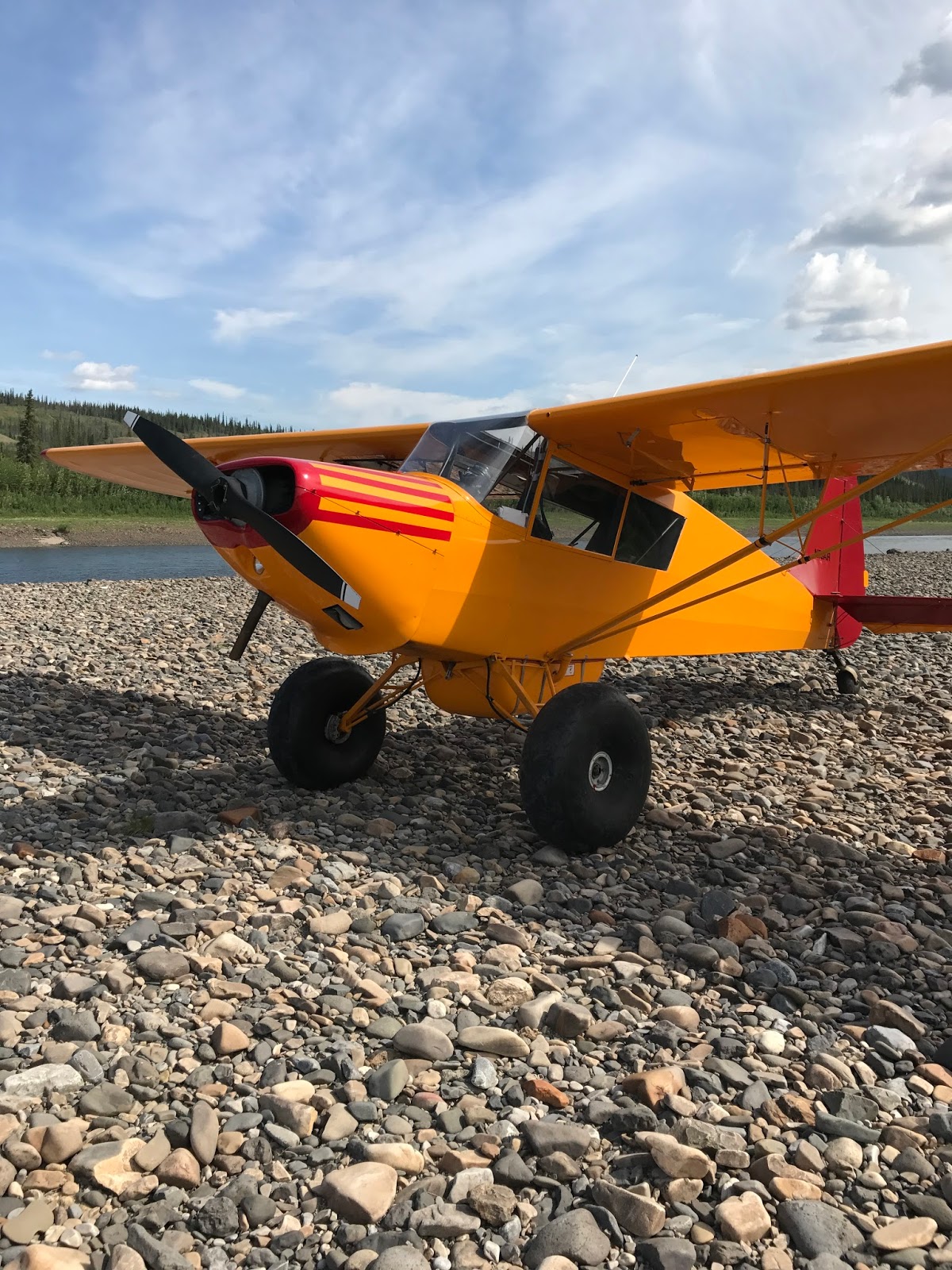
The following photographs show the braided Yukon River, the Porcupine where I landed and took pictures of Arctic Terns (the origin of the name for my airplane) and other features of that large bar. Next are photographs of the huge wild lands fire burning East of Chalkyitsik with smoke being blown to the NE, views of the Colleen River, with very low water, the Porcupine Gorge and fires in the distance burning over a large area of the Yukon Territory, and finally, the landing spot I chose below the Salmon Trout River's entrance into the Porcupine Gorge. Missing are pictures of the large BLM fire fighter's camp at the mouth of the Salmon Trout. The turbulence in the gorge was so great that I had to concentrate on "flying the aircraft" and was unable to take any photos!

Just like everything that goes up must come down, my trip to the NE was downwind, frequently exceeding a ground speed of 120 mph. The return trip was very slow averaging 70-75 mph. Fortunately I have adequate supply of avgas, with 65 gallons on board.